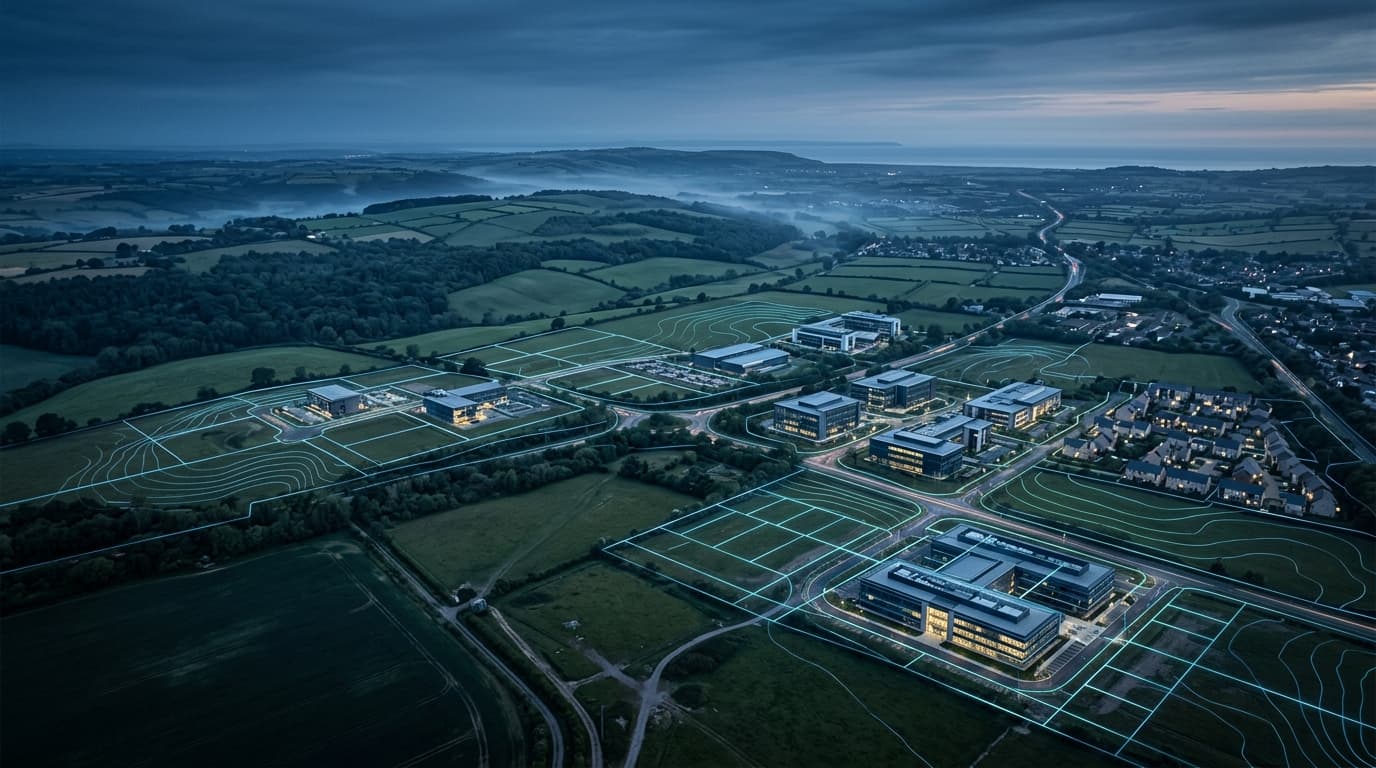
LAND WITH POTENTIAL.
DEVELOPMENT WITH PURPOSE.
Entire UK identifies, assesses, secures and develops property and land opportunities across the UK. We combine proprietary Land Radar spatial intelligence with rigorous human due diligence to unlock lasting commercial value.
Disciplined Sourcing
Assessing planning context, density potential, local plans and physical constraints.
Value Engineering
Structuring unconditionals, promotion agreements, option structures and JV models.
Execution Viability
Aligning experienced planning teams, institutional development capital and delivery partners.

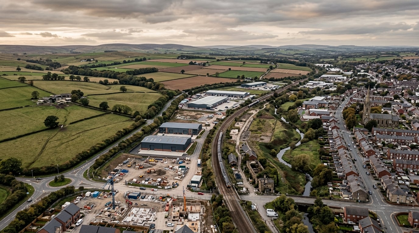
What We Look For
We assess diverse asset types across England, Scotland and Wales. Every site is rigorously evaluated on its planning merits, physical feasibility and commercial deliverability.
Development Land
Residential & Commercial Sites
Parcels with immediate or medium-term potential for residential housing developments, commercial expansion, or mixed-use schemes.
Key Indicators: Edge-of-settlement, allocated or unallocated with sensible access.
Planning Context: Local Plan allocations, call-for-sites promotion, SHLAA reviews.
Brownfield & Regeneration
Previously Developed Land
Former industrial premises, redundant yards, transport depots, and previously developed urban land where remediation can unlock substantial renewal.
Key Indicators: Urban infill, redundant yards, former employment sites.
Planning Context: NPPF Annex 2 brownfield presumption, urban renewal corridors.
Conversion Opportunities
Repurposing Built Assets
Existing commercial, retail, agricultural, or office buildings suitable for conversion to residential or modern commercial uses via Permitted Development (PD) or full planning.
Key Indicators: Class MA, Class Q, redundant offices, vacant high-street premises.
Planning Context: Permitted Development rights, Class MA commercial-to-residential.
Strategic Land
Long-Term Policy Promotion
Medium-to-long term land parcels aligned with local plan reviews, infrastructure corridors, and spatial development strategies across the UK.
Key Indicators: 10 to 100+ acres adjoining existing sustainable settlements.
Planning Context: 5-10 year strategic promotion, Green Belt reviews, infrastructure nodes.
Underutilised Property
Sub-Optimal Density or Use
Properties where existing floorplate, height, or use classification substantially undervalues the underlying site potential.
Key Indicators: Low-density retail parks, car parks, assembly spaces, yard storage.
Planning Context: Airspace development, densification, mixed-use commercial masterplanning.
Subject to Planning & Due Diligence
Not every site will be developable. We conduct meticulous due diligence on legal title, access rights, ecology, flood risk and planning policy before committing to an acquisition or promotion agreement.
Our Acquisition Framework
A disciplined seven-stage process guiding opportunities from initial spatial discovery through technical due diligence, contractual control, planning consent, capital structuring, construction and realization.
DISCOVER — Algorithmic screening & off-market spatial identification
Identify candidate parcels and properties where existing use substantially diverges from planning potential.
- HM Land Registry cadastral index polygons
- Ordnance Survey MasterMap spatial geometries
- Local Plan call-for-sites & SHLAA registries
- Statutory planning decision histories & appeal notices
- Unregistered vs registered boundary discrepancy verification
- Geometric road proximity check (highways boundary separation check)
- Statutory flood zone screening (EA River & Surface Water)
- Candidate Spatial Dossier
- Cadastral Overlap Analysis
- Preliminary Planning History Extract
- Irresolvable Functional Floodplain (Zone 3b)
- Absolute statutory barrier (Ancient Woodland / SSSI direct overlap)
We are building the intelligence layer behind the opportunity search.
Entire UK uses proprietary Land Radar infrastructure to identify and prioritise potential opportunities across the UK. Experienced human acquisition expertise then investigates and validates them.
* Illustrative system visualisation. Real-world candidate evidence requires human highways & title audit.
Geospatial & Cadastre
Boundaries & Topography
Cadastral boundaries, INSPIRE index polygons, centroid calculation (EPSG:27700), highway proximity, and topography.
Planning Intelligence
Allocations & Precedents
Statutory decisions, appeal records, Local Plan allocations (e.g. Policy DS11/DS15), and SHLAA submissions.
Constraint Layering
Environmental Hazard Screening
Green Belt, Functional Floodplain (Zone 3b), SSSI buffers, AONB, ancient woodland, and conservation areas.
Ownership Intelligence
Candidate ≠ Parcel ≠ Title
HM Land Registry title registers, corporate ownership (CCOD), title assembly detection, and ransom strip identification.
Market Comparable Signals
Transactional Micro-Location
HMLR Price Paid Data (PPD), transaction velocity, comparable search radiuses, and localized pricing discounts.
Acquisition Decision Gate
Human Due Diligence
Candidate Truth Ledgers, formal highways audits, Phase 2 borehole surveys, vendor contact logs, and commercial gate sign-off.
Learn how Land Radar screens titles, adopted highways, and statutory constraints across the UK.
From Data to Development
Technology enables us to scan and prioritise vast datasets across the UK. Experienced human property professionals ensure that only viable, high-quality schemes are taken forward.
Data
Ordnance Survey, Land Registry, planning portals, environmental maps
Intelligence
Constraint mapping, policy matching, spatial correlation
Assessment
Experienced human evaluation, site viability and density review
Opportunity
Commercial structuring, acquisition or promotion agreement
Planning
Specialist consultancy, architectural design and committee consent
Development
Delivery with vetted construction partners and institutional funding
Technology accelerates discovery. Human expertise secures execution.
We do not believe algorithmic models can replace the nuance of British planning law, local politics, highways engineering or commercial negotiation. Entire UK uses data to find the needle in the haystack — then applies decades of built-environment experience to deliver the result.
What We Are Looking For
Entire UK operates as a disciplined principal buyer and development partner utilizing private capital and aligned development funding. We evaluate all opportunities against clear planning, environmental and commercial criteria.
Geographic Focus
Priority corridors include the Midlands Growth Engine, Western Gateway, Thames Valley growth arc, and well-connected regional settlements with demonstrably strong economic fundamentals.
Land & Site Typologies
Previously developed land (PDL), redundant transport or industrial depots, vacant commercial buildings with Class MA conversion potential, and strategic agricultural parcels immediately adjoining settlement boundaries.
Target Scale & Acreage
From urban infill parcels and single redundant commercial buildings through to strategic greenfield expansions capable of delivering 20 to 500+ residential dwellings or mixed-use employment.
Access & Infrastructure
Sites must either possess direct frontage to adopted public highway or clear, unencumbered private rights of way. We also actively evaluate sites with access ransoms where structured legal assembly is achievable.
Planning Policy Context
Brownfield land under the NPPF presumption, unallocated parcels adjoining settlements where the LPA suffers a 5-year housing land supply deficit, or call-for-sites entries within emerging Local Development Schemes.
Commercial Structures
Unconditional freehold purchases for immediate certainty, planning promotion agreements with 100% funded planning risk, option agreements with defined floor values, and collaborative joint ventures.
Submit an opportunity for confidential principal review.
We review submissions within 5 business days. Direct principal decisions without speculative broker chains.
Is your land worth more
than you think?
Securing planning permission can increase land value by multiples. However, navigating local planning committees, environmental impact assessments and highways authority requirements is complex and capital-intensive.
- Comprehensive planning policy evaluation at no upfront cost to the landowner.
- Flexible structuring: unconditional freehold purchase, option agreements, or promotion agreements.
- Entire UK covers professional planning fees, architectural design and technical reports.
- Transparent alignment of interests aimed at maximising net land value.
Maximising Value Without Risk
We fund 100% of the planning risk, surveys and specialist consultant costs. If permission is not achieved, you owe nothing. If consented, you participate directly in the heightened commercial land value.
Building Repurposing Paths
The building may be worth more
than its current use.
Changes in UK planning policy, permitted development regulations and post-pandemic occupier demand have altered the economic viability of commercial and light industrial buildings. We identify opportunities where alternative uses can unlock substantial trapped value.
- Expertise in Permitted Development Rights (Class MA commercial-to-residential, Class Q agricultural).
- Airspace, vertical intensification and rear extension capacity analysis.
- Fast freehold acquisitions for vacant, dilapidated or high-vacancy properties.
- Joint venture structures for building owners seeking to participate in development upside.
Development with purpose.
A piece of land is only the beginning. Entire UK takes consented schemes into physical delivery — combining planning consent, institutional capital structuring, and vetted contractor execution to create enduring built assets.


Architectural & Placemaking Merit
We commission designs that harmonise with regional vernacular while delivering forward-thinking energy performance, natural daylighting and generous public realm.
Environmental Longevity & BNG
Schemes integrate sustainable urban drainage (SuDS), active ecological corridors and a minimum of 10% on-site Biodiversity Net Gain.
Built-Environment Operational Synergy
Partnering with sister company EntireFM, our developments benefit from operational engineering, compliance and facilities maintenance expertise embedded from initial design.
Community & Stakeholder Alignment
Constructive engagement with Parish Councils, local planning authorities and neighbouring residents to deliver deliverable schemes that meet local housing and commercial needs.
Have you found a site?
Own land with development potential?
Whether you are a freehold owner, an introducing agent, a surveyor or a development partner, tell us about the opportunity. Our team will review the fundamentals confidentially.
All submissions are reviewed confidentially. Submitting a site does not create an obligation or commitment to proceed.